LE TECH Innovation: Revolutionizing Geospatial Solutions
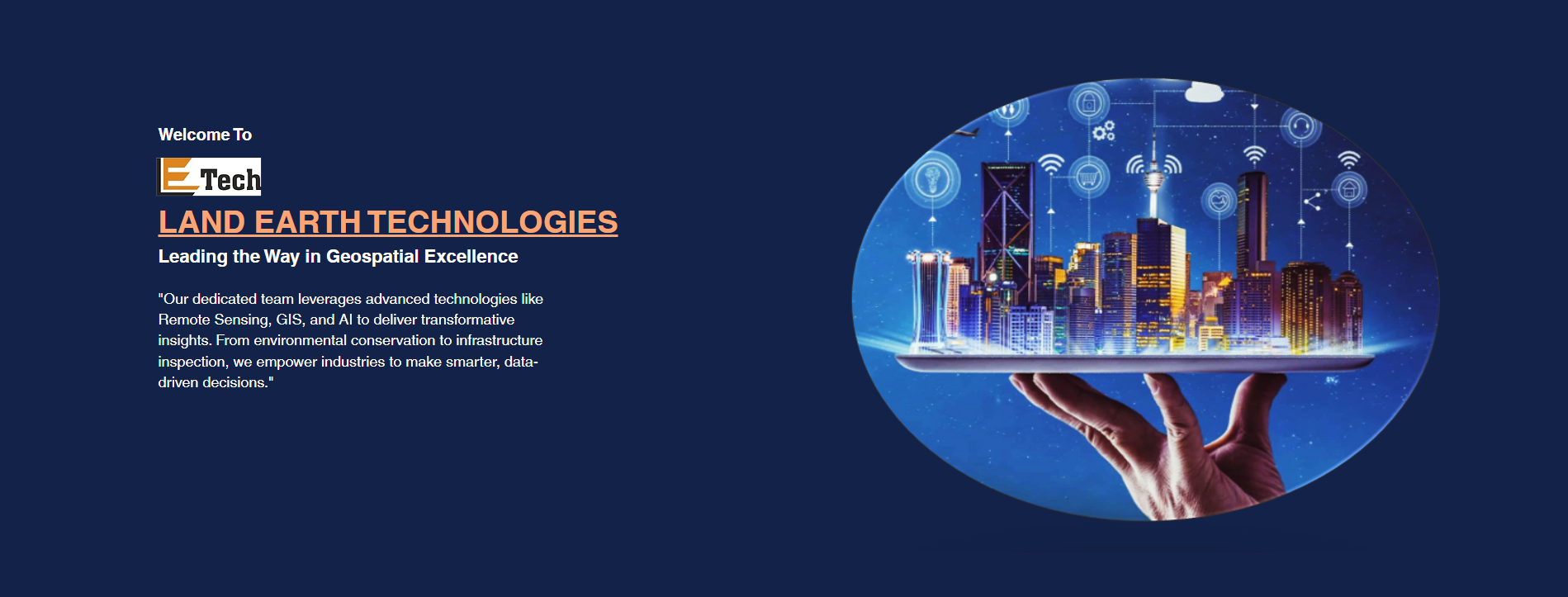
LETECH Innovation is redefining geospatial solutions with cutting-edge technology and expertise. Our advanced capabilities in Remote Sensing, GIS, Photogrammetry, and AI-driven analytics enable precise, data-driven insights for industries worldwide. We empower clients to make smarter decisions, optimize operations, and unlock new possibilities. LETECH is committed to driving innovation for a sustainable and connected future.
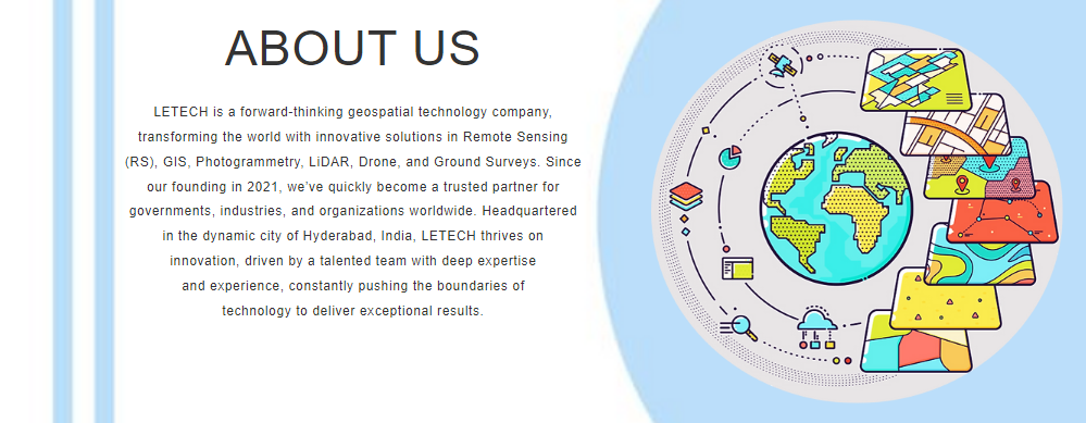
Land Earth Technologies (LETECH) has quickly positioned itself as a pioneer in the geospatial technology sector. From its inception, LETECH has been committed to delivering innovative, cutting-edge solutions that address complex challenges across various industries. Headquartered in Hyderabad, India, a renowned technology hub, the company leverages its expertise to serve clients globally, blending technology with actionable insights to drive decision-making.
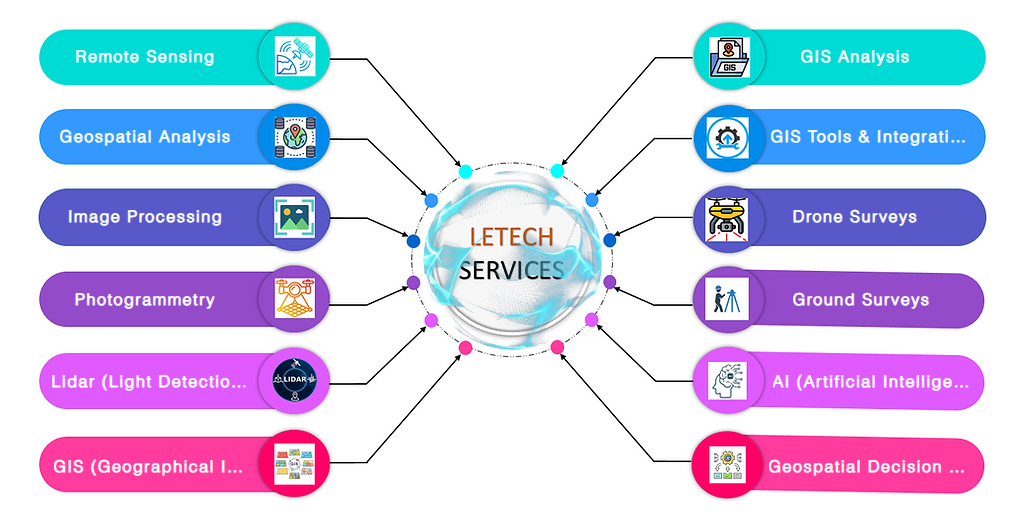
include advanced Remote Sensing (RS), Geographic Information Systems (GIS), Photogrammetry, LiDAR, Drone Surveys, and Ground Surveys. By utilizing these technologies, we provide precise data analysis and mapping solutions that support a wide array of industries. Whether it's urban planning, environmental conservation, disaster management, or infrastructure inspection, LETECH is at the forefront of geospatial intelligence.
in being more than just a service provider. We are a strategic partner, working alongside businesses, government bodies, and organizations to help them harness the power of geospatial data. Through collaboration and innovation, we develop customized solutions that allow our clients to unlock new opportunities, optimize operations, and achieve their goals more effectively.
our vision remains clear: to revolutionize the world with geospatial technology. LETECH is not only committed to excellence in service delivery but also to shaping the future of industries through sustainable, data-driven practices. Our focus on research, innovation, and state-of-the-art tools positions us as a leader in geospatial technology, driving positive change for a smarter, more efficient world.
Services
Our excellence has established LETECH as a global leader in geospatial technology. We support governments in conservation, help industries optimize resources, and aid organizations in disaster response—shaping a more efficient, resilient world.